Oman Country Map | Complete Guide to the Oman Map and Geography
Understanding the Oman country map is the first step to discovering one of the most diverse and geographically fascinating countries in the Arabian Peninsula. From vast deserts and dramatic mountain ranges to fertile coastal plains and turquoise seas, the Oman map reveals a land shaped by history, trade, and nature.
Located in the southeastern corner of the Arabian Peninsula, Oman shares borders with the United Arab Emirates, Saudi Arabia, and Yemen, while its coastline stretches along the Arabian Sea and the Gulf of Oman. Its strategic position has played a key role in maritime trade and cultural exchange for centuries.
In this comprehensive guide, we explore the Oman map in detail—regions, cities, landscapes, borders, geography, and why understanding the map enhances every travel experience.
Where Is Oman Located?
On the world map, Oman occupies a unique and strategic location. It sits at the mouth of the Arabian Gulf near the Strait of Hormuz—one of the world’s most important shipping routes.
The Oman country map shows:
-
North: United Arab Emirates
-
West: Saudi Arabia
-
Southwest: Yemen
-
East & South: Arabian Sea
-
Northeast: Gulf of Oman
This geographical positioning has historically made Oman a maritime powerhouse.
Total Area and Geographic Size
Oman covers approximately 309,500 square kilometers, making it one of the larger countries in the Arabian Peninsula.
Looking at the Oman map, you’ll notice its irregular shape. It includes a mainland territory and a separated northern exclave known as Musandam, which is divided from the rest of Oman by UAE territory.
Major Regions on the Oman Map
Oman is divided into several governorates (regions). Each has its own distinct landscape and cultural identity.
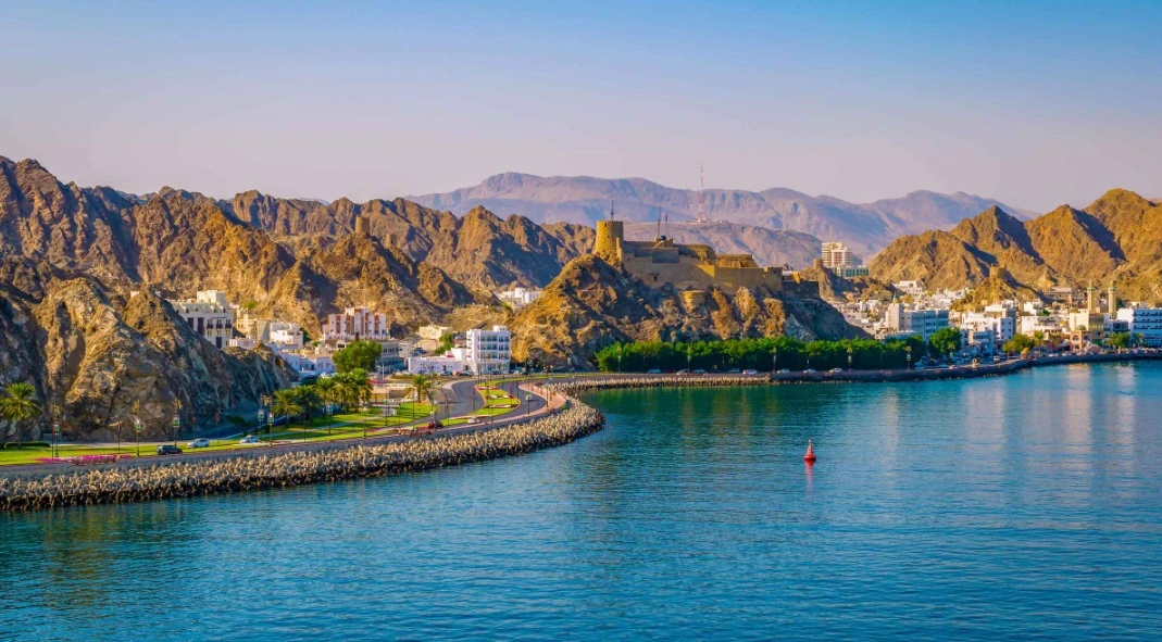
1. Muscat Governorate
The capital region is home to Muscat, Oman’s political and economic center. On the map, Muscat is located along the northeastern coast by the Gulf of Oman.
Muscat combines:
-
Mountain backdrops
-
Coastal views
-
Modern infrastructure
-
Historic forts and mosques
It serves as the main entry point for international travelers.
2. Dhofar Governorate
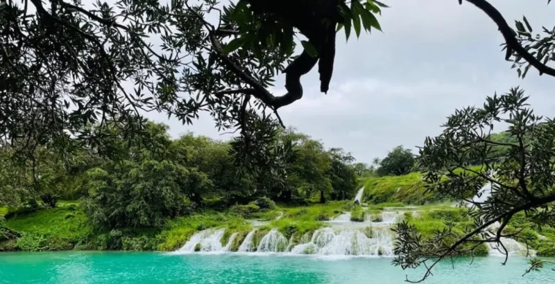
Located in the south, Dhofar includes the city of Salalah. This region is unique because of its monsoon season (Khareef), which turns the landscape green between June and September.
On the Oman map, Dhofar is separated by desert from northern Oman, giving it a distinct climate and culture.
3. Al Batinah Region
Stretching along the northern coast, Al Batinah is known for:
-
Agriculture
-
Fishing
-
Coastal towns
Its fertile plains contrast with the rugged Hajar Mountains visible inland on the map.
4. Al Dakhiliyah
This interior region includes the historic city of Nizwa. The Oman country map shows this area nestled between desert and mountain ranges.
It is famous for:
-
Traditional forts
-
Date plantations
-
Mountain villages
5. Musandam Peninsula
The Musandam region appears separately at the top of the Oman map. It overlooks the Strait of Hormuz and features dramatic fjord-like inlets.
Its strategic location has made it geopolitically significant for centuries.
Natural Features on the Oman Map
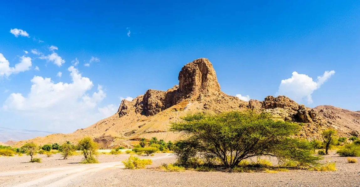
The Hajar Mountains
The Hajar Mountains dominate northern Oman. They run parallel to the coast and create dramatic landscapes.
This range includes Jebel Shams, Oman’s highest mountain, and offers hiking, canyoning, and breathtaking views.
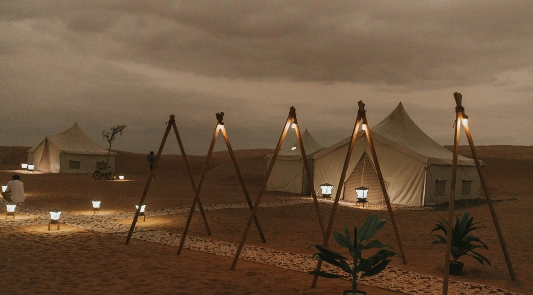
The Rub' al Khali Desert
Part of the vast Empty Quarter desert extends into Oman’s western region. On the map, this area appears as large stretches of uninhabited desert terrain.
It is known for:
-
Towering sand dunes
-
Remote Bedouin settlements
-
Desert camping experiences
Coastal Areas
Oman’s coastline stretches over 3,000 kilometers. The Oman map highlights:
-
Gulf of Oman coastline (north)
-
Arabian Sea coastline (south and east)
These waters are rich in marine life and ideal for diving and fishing.
Borders and Political Geography
The Oman country map clearly shows its shared land borders with:
-
United Arab Emirates
-
Saudi Arabia
-
Yemen
Additionally, Oman shares maritime boundaries with Iran and Pakistan across the Arabian Sea.
This positioning has influenced trade, diplomacy, and cultural exchange.
Oman Map and Transportation
Understanding the Oman map helps travelers plan efficient routes.
Key travel routes include:
-
Muscat to Salalah (by air or long road trip)
-
Mountain routes through Jebel Akhdar
-
Coastal highways along Al Batinah
-
Desert drives toward Wahiba Sands
Road infrastructure in Oman is modern and well-maintained, making map-based road trips popular.
Climate Zones Visible on the Map
The Oman map reveals climate diversity:
-
Northern Oman: Hot desert climate
-
Southern Dhofar: Monsoon-influenced climate
-
Mountain regions: Cooler temperatures
-
Desert interior: Extreme heat
These variations make Oman unique compared to neighboring countries.
Why the Oman Map Is Important for Travelers
Studying the Oman country map helps travelers:
-
Understand distances between cities
-
Plan multi-region itineraries
-
Identify natural attractions
-
Discover hidden coastal and desert areas
-
Organize efficient road trips
Because Oman is geographically diverse, planning based on the map ensures better travel experiences.
Cultural Diversity Across Regions
The map reflects cultural diversity:
-
Coastal communities with maritime traditions
-
Desert Bedouin heritage
-
Mountain village lifestyles
-
Southern Dhofar’s African trade influences
Each region on the Oman map tells a different cultural story.
Digital and Interactive Oman Maps
Modern travelers can access:
-
GPS-based navigation
-
Satellite views
-
Topographic maps
-
Tourism-specific regional maps
These tools enhance travel planning and exploration.
Oman Map for Business and Trade
Beyond tourism, the Oman map is strategically important for:
-
Maritime shipping routes
-
Oil and gas transport
-
Port operations
-
International trade connections
Its location near the Strait of Hormuz makes it globally significant.
Educational Importance of the Oman Country Map
Students and researchers study Oman’s geography to understand:
-
Desert ecosystems
-
Mountain geology
-
Coastal marine biodiversity
-
Climate variation
The map reveals how geography shapes culture and economy.
Comparing Oman’s Geography to Neighboring Countries
Unlike some Gulf countries dominated by flat desert terrain, Oman’s map shows:
-
Mountains
-
Valleys (wadis)
-
Green monsoon areas
-
Extensive coastline
This geographic variety gives Oman a distinctive identity.
Future Development and Regional Growth
Infrastructure expansion continues across regions shown on the Oman map, including:
-
Airport development
-
Tourism projects
-
Port expansions
-
Road network upgrades
These developments strengthen regional connectivity.
Final Thoughts: Exploring Oman Through Its Map
The Oman country map is more than just a geographic outline—it tells the story of mountains, deserts, oceans, and ancient trade routes. It explains cultural diversity, economic development, and tourism potential.
Whether you are planning a coastal holiday, mountain adventure, desert safari, or cultural tour, understanding the Oman map helps you explore more confidently and efficiently.
Oman’s geography is not only beautiful—it is strategically and historically powerful.
Ready to explore Oman region by region? Visit our Oman Tour Packagesto discover customized travel packages, guided tours, and complete Oman itineraries designed around the country’s diverse map and landscapes. Start planning your Oman journey now!